
Every landowner, farmer, and property buyerOmir Map Hisaband measurement as essential knowledge before making any land-related matter decision.
When I first started helping people resolve boundary problems, I realized how many people lose money simply because they never learned the correct calculation method for their plot.
Knowing accurate methods, units, and formulas gives you the real confidence to handle any agricultural area assessment, construction planning, or boundary dispute without depending on anyone else.
Today, property prices are skyrocketing in South Asia, and one wrong measurement can cost you a fortune.
I personally believe that if you understand our map properly, you can save yourself from major losses during any property transaction.
This complete guide will walk you through every important aspect of measuring land so you can protect your rights and assess your land with full matter of fact accuracy.
What is Omir Map Hisab?
Omir map hisab literally means land measurement calculation, a process that helps you find the exact area of any piece of land using standard units and mathematical formulas.
This knowledge is widely used across Bangladesh, Pakistan, India, and Nepal by millions of people every single day.
Whether you need it for agricultural land assessment, property buying, selling, construction planning, or maintaining legal government land records this skill covers it all.
From my experience working with rural landowners, I can tell you that tax and revenue calculations become much easier once you understand the basics of our map.
The process is not complicated at all; you simply apply the right formula to get the exact results you need. Once you learn this, you will never feel lost or cheated during any land deal involving standard measurement systems.
Units of Land Measurement
In Pakistan, the most commonly used units are Marla, Kanal, and Acre, where 1 Marla equals 272.25 Square Feet, 1 Kanal equals 20 Marlas or 5,445 Square Feet, and 1 Acre equals 8 Kanals.
Understanding these regional units helps you quickly determine plot size and zonal land value without any confusion.
I have seen many buyers get cheated simply because they did not know the difference between a Marla and a Kanal during a property deal.
In Bangladesh, people commonly used Katha, Bigha, Decimal, and Satak as their standard land measurement units.
Where 1 Katha equals 720 Square Feet, 1 Bigha equals 20 Kathas, and 1 Decimal or Satak equals 435.6 Square Feet.
These regional units differ from the international system but remain the backbone of all agricultural and zonal area reckoning across the region.
Knowing both systems makes conversion and area calculation a completely smooth experience for any landowner.
The international units used globally include Square Feet (sq ft), Square Meter (sq m), Square Yard (sq yd), Acre, and Hectare.
Where 1 Hectare equals 2.47 Acres making it a widely accepted standard across government and corporate land systems.
These units form the foundation of every South Asia land measurement system and connect regional practices to international benchmarks.
Whether you are dealing with a small plot or a massive agricultural area, these units always give you a reliable starting point for any conversion.
Methods of Land Measurement
For a rectangular piece of land, the formula is simply area equals length multiplied by width, so if your land measures 50 feet long and 30 feet wide.
The area comes to 1,500 square feet instantly. This is the most straightforward method I always recommend to beginners because it requires zero technical background and delivers accurate results every time.
The rectangular method remains the most widely used measurement approach for boundary identification and plot calculation exercises across South Asia.
For triangular land, you use the formula where area equals half of base multiplied by height, meaning a triangular plot with a base of 40 feet and height of 25 feet gives you exactly 500 square feet of area.
Similarly, circular land uses the formula where area equals pi (3.14159) multiplied by radius squared, so a circular plot.
With a radius of 10 feet gives 314.16 square feet as the final area. Both these methods require you to carefully identify the correct corner sections of your land before you begin the calculation process.
For irregular land shapes, you simply divide the entire land into smaller sections of rectangular or triangular pieces.
Calculate each section separately, and then add all results together to get the total area. I personally use this method for farmland that has uneven boundary lines.
Because it gives me reliable results without expensive equipment. You can also use a GPS mobile app to handle irregular shapes much faster.
And deliver more accurate results by tracing the slope and horizontal distance at the same time.
Land Measurement Unit Conversion Table
The conversion table below shows how each unit compares to square feet and square meters so you can calculate and compare land values across different systems with ease.
1 Marla equals 272.25 square feet or 25.29 square meters, while 1 Kanal equals 5,445 square feet or 505.86 square meters, and 1 Acre equals 43,560 square feet or 4,046.86 square meters.
This standard ratio helps you convert any area instantly without making manual errors during property transactions.
1 Hectare equals 107,639 square feet or 10,000 square meters, making it the largest standard unit in this conversion table and the most commonly used unit in government.
And corporate land records globally. Meanwhile, 1 Katha equals 720 square feet or 66.89 square meters, 1 Bigha equals 14,400 square feet or 1,337.80 square meters.
 And 1 Decimal equals 435.6 square feet or 40.47 square meters. These equivalent values make it extremely easy to compare regional units with international standards whenever you need to finalize a land deal.
I always advise people to keep this table saved on their phone because it instantly helps them calculate, convert, and compare any area figure during land negotiations.
The moment you know the ratio between units, you stop depending on middlemen or agents who often manipulate figures to their own benefit.
This standard conversion knowledge truly empowers every landowner to take full control of their area assessments.
Tools Used for Land Measurement
Traditional tools for land measurement include the measuring tape for small plots, the chain for larger land areas, the theodolite for professional grade work done by surveyors.
And the compass for checking direction and boundary alignment. Each of these tools serves a specific purpose and has been trusted for decades by land.
Measurement professionals across South Asia. I personally started with a simple measuring tape before upgrading to digital equipment, and even today I recommend beginners to start with traditional tools first.
Modern tools like GPS devices, drone survey systems, total station machines, and mobile apps have completely transformed the way people handle land measurement today.
GPS devices deliver highly accurate results when used professionally, while drone survey technology allows aerial mapping of large areas in just minutes without anyone physically walking the boundary.
The advanced electronic surveying tool known as the total station combines angle and distance measurement into one digital device, making it the top choice for high-precision work.
Mobile apps stand out as the most free and easy solution for everyday needs because almost everyone already owns a smartphone.
These digital tools bridge the gap between physical equipment and technology, giving ordinary landowners access to professional grade measurements without spending money on expensive instruments.
From my experience, a good mobile app combined with basic technology knowledge is enough to handle most routine land measurement tasks efficiently.
Measuring Land Using Mobile Apps
Mobile apps have made land measurement incredibly accessible to everyone, and Jomir Hisab stands out as the most popular choice across Bangladesh, India, Pakistan.
And Nepal because it supports over 35 regional land units including rectangular, triangular, circular, and irregular shapes.
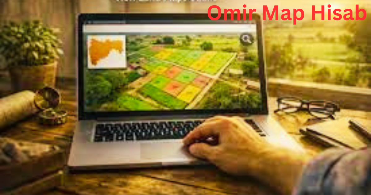
You can measure directly on a map using built-in GPS technology, which makes identifying your plot boundary and calculating area a completely digital experience.
I have personally recommended Jomir Hisab to dozens of small farmers and they found it incredibly simple to use right from day one.
GPS Fields Area Measure uses Google Maps to let you mark boundaries on screen and automatically calculate the area in multiple units simultaneously, removing.
The need for any manual formula work. The Land Calculator app offers a simple interface designed around all major units used across South Asia.
Making it a reliable tool for both beginners and experienced landowners. Both apps deliver quick calculations without requiring any technical expertise, making digital land measurement truly accessible to anyone with a smartphone.
However, even the most accurate GPS mobile app cannot replace a licensed surveyor when it comes to official and legal purposes involving large technology-based boundary disputes.
I always tell people to use apps for initial estimates but always confirm with a licensed professional before signing any legal document.
This combination of digital technology and human expertise gives you the most reliable accurate results for any plot situation.
Common Mistakes in Land Measurement
One of the biggest mistakes people make is measuring sloped land along the incline instead of the horizontal distance.
Which always gives a larger but completely incorrect area figure. I have personally corrected dozens of such errors on farmland.
Where the owner had been overpaying taxes on inflated area figures caused by this single mismeasure oversight.
Always flatten your measurement to the horizontal plane and never follow the slope when you want a true area reading.
Another very common mistake involves marking corners incorrectly, which throws off the entire calculation and leads to serious boundary problems later.
Mixing units like Marla and Kanal or Katha and Bigha during a single calculation creates wrong unit conversion errors that can cost you significant money.
I once saw a property deal collapse entirely because the buyer and seller were using different unit systems without realizing it, which is exactly the kind of inaccuracy you must never overlook.
Relying on old Patwari maps is another trap that catches many landowners off guard because these maps are often outdated and inaccurate by several years.
The actual land area can also differ significantly when boundary walls are either included or excluded from the measurement, so always clarify this before starting.
Neglect nothing when it comes to identification of survey boundaries because even a small miscount in one section can change the total area calculation dramatically.
How to Get Official Land Records
In Pakistan, you should always contact your local Patwari first to access your Fard and Khasra Number along with the official land map for your area.
The Punjab Land Records Authority (PLRA) provides online access to your land records through their dedicated portal, making the legal verification process much faster than visiting offices in person.
The Sindh revenue department also maintains a dedicated Land Record Center where you can verify your government documents and confirm your local land ownership details.
In Bangladesh, you visit the Sub-Registrar Office or use the Bangladesh Land Ministry portal online to search records using your Khatian Number and Dag Number.
These official systems let you access and verify all legal documents related to your land without needing a middleman.
From my experience, always cross-check your Khatian Number with the Dag Number to make sure both records point to the same physical land area.
In India, every state maintains a Bhulekh portal where you can check your land records using your Survey Number at any time.
You can also visit the local Tehsildar office to verify documents in person if the online portal shows any mismatch.
The combination of online access and local authority registration systems makes India’s government land record system one of the most comprehensive in the region.
Precautions When Buying or Selling Land
Always measure the land yourself before trusting the seller’s claimed area because inflated figures are one of the most common forms of fraud in property markets across South Asia.
I personally never finalize any land deal without first doing an independent measurement and comparing it against the official records including the Fard, map, and registration documents.
This simple caution has helped me and many people I know avoid costly transaction mistakes that could have led to serious financial damage.
Make sure all boundaries with neighboring land are clearly defined and agreed upon before signing any agreement because undefined borders always lead to boundary disputes later.
Always hire a licensed surveyor for large transactions because professional verification adds a layer of reliable protection that no app or self-measurement can fully replace.
A trustworthy surveyor gives you an authentic report that holds legal weight in court if any dispute ever arises over your property.
Always confirm that there are no pending legal disputes on the land before completing your purchase or sale agreement by checking all authentic records at the relevant authority.
Never rely on verbal promises during a land transaction because only written documents verified by a government authority carry real legal weight.
I always say a few hours of check and verify work before a land deal saves you years of safeguard battles afterward.
FAQS About Omir Map Hisab
How many square feet are in 1 Marla?
1 Marla equals 272.25 square feet, making it one of the most important standard units of land measurement used across .
How many Marlas are in 1 Kanal?
1 Kanal contains exactly 20 Marlas, and this conversion remains the most used standard in Pakistan for measuring mid-size land area and urban plot calculation. Most residential housing societies.
Can I measure land using a mobile app?
Yes, a mobile app like Jomir Hisab or GPS Fields Area Measure lets you measure land using GPS and maps with impressive accuracy for everyday boundary and plot assessments. These digital technologies.
How do I calculate the area of irregular land?
To calculate the area of irregular land, you divide the entire shape into smaller rectangles or triangles, find the area of each section separately, and then add all values together for the total result.
Where can I get official land records?
In Pakistan, you can get your official land records from the Punjab Land Records Authority (PLRA), the Sindh Land Records Authority, or your nearest Land Record Center by presenting your Card, Khasra, or Patwari reference details.